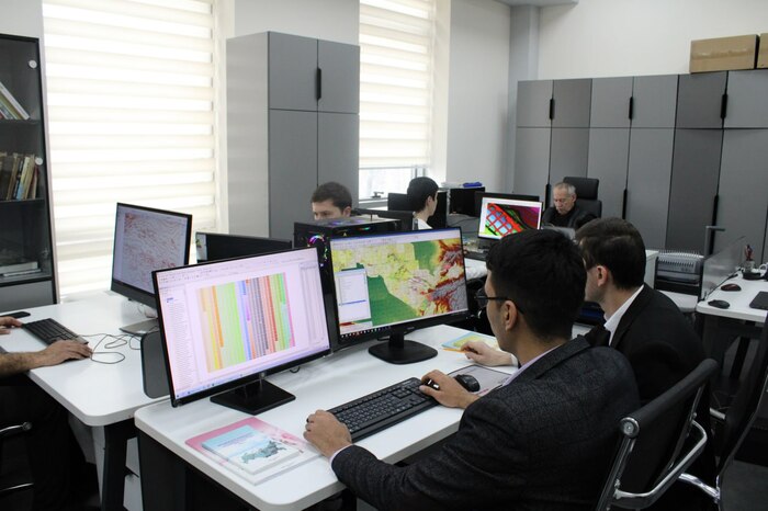
The department of "Digital Mapping" of the State Institution "Institute of Mineral Resources" conducts scientific and practical research on project No. 1446 "Creation of a digital geological base at a scale of 1: 200,000 in GIS format for multifunctional integrated rational environmental management of the territory of the Republic of Uzbekistan."
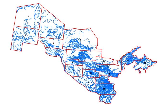
The geological basis of the territory of the Republic of Uzbekistan on a scale of 1:200,000 is created on the basis of geological mapping materials made in different years, with sampling to determine the absolute age from areas whose geological age is disputed, and reliable geological boundaries are identified from photons in space images. The entire territory of the republic was divided into 20 separate regions and presented digitally in the ArcGIS program. In the process of digitization, based on the sequence of stratigraphic subdivision of attributive tables of digital geological maps, a geodatabase was formed covering all deposits on the territory of Uzbekistan.
Currently, the department is working on the creation of a classifier that represents modern digital geological maps of the territory of the Republic of Uzbekistan in electronic form.